Salinisation, a hidden climate pressure for our lowland coasts?

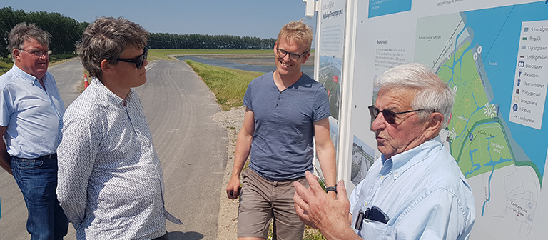
Karel van Dijck explains some of the challenges of salinisation to EUWMA colleagues at the Hedwige/Prosperpolder
By Ian Moodie MSci, Technical Manager, ADA
This week (12-13 June 2023) I have been in Sint Niklaas in Belgium with water level managers from across Europe looking at the challenges posed by salinisation around our lowland coasts in a changing climate.
The European Union of Water Level Management Associations (EUWMA) hosts an annual mid-term meeting to take a deeper look at a technical challenge facing water level managers in Europe. This year our Flemish colleagues at the VVPW (Flemish Association of Polders & Water Boards) chose to focus on the salinisation of coastal soils. With more prolonged periods of drought, and growing pressures on groundwater for drinking, growing, and industry this is likely to be an increasing topic of interest for our sector. This topic further demonstrates that the role of water level managers goes beyond a stereotypical role of land drainage and flood risk management to one of controlling water levels in a way that maximises water retention in the landscape safely for society and the environment.
Our host from VVPW, Sam Coulier, who is currently President of EUWMA for 2022/23 set the group the challenge of better defining the role of (surface) water managers with regards to salinization and communicating the topic to members across the continent.
We were grateful to be joined by Jeroen De Waegemaeker a scientist from ILVO (Flanders Research Institute for Agriculture Fisheries & Food), who has collaborated on salinsation research with colleagues around the North Sea (SalFar, an Interreg North Sea Region Programme of the European Union), including Dr Ian Gould a soil scientist from the University of Lincoln.
Jeroen expertly described the various pathways for salinsation around the world. Whilst often recognised as a coastal issue in much of Europe, it is important to acknowledge that terrestrial salinisation is also widely a challenge for agriculture and drinking water elsewhere across the globe. This can be as a result of: geological salt deposits, concentration of salts from evapotranpiration in crops, and from the repeated reuse of water.
Salinisation in Eastern England
For North Sea lowland coasts, the pathways are:
- inundation (flooding from the sea, such as the East coast tidal surge of 2013),
- infiltration (seepage of sea water into groundwater),
- aerosol (spray from the sea, particularly an issue in parts of Norway and Denmark), and
- irrigation (reducing the freshwater lens or extracting from brackish groundwater).
Regardless of the pathway, it is the interplay between human and natural factors that are driving salinisation pressures. You can learn more about these pathways and their agricultural impacts from the SalFar project’s Inspiration Guide on Saline Farming.
In the UK salinisation is an under-researched environmental topic, but one that has important implications for farmers and growers, freshwater habitats, and our water resources needs. This is particularly the case along parts of England’s lowland east coast, where much of the UK’s most productive agricultural land is found and water levels are managed by internal drainage boards.
Leading on this important topic, the research team at the University of Lincoln have recently mapped for the first time the interface between freshwater and saline water in the shallow coastal aquifer in the coastal fenland area of South Holland in south Lincolnshire. It shows that salt water is relatively close beneath the surface, meaning that if sea-levels rise, then salt content could affect the ability of the area to grow food. Such monitoring may prove crucial as growers look to utilise groundwater sources of water for irrigation needs in coastal areas. Directly abstracting freshwater from the shallow groundwater lens by using catch-pits to fill storage reservoirs could potentially increase the risk of water-table draw down and consequently saline seepage.

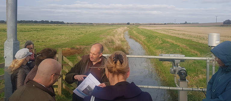
Giles Bloomfield explains to Defra and EUWMA colleagues in October 2022 about the efforts by Broads IDB to reduce salinisation at the Hempstead Marshes in the upper Thurne catchment
Further south in Norfolk, the Broads IDB has been involved in looking at the impact from saline infiltration into the Hempstead Marshes in the upper River Thurne catchment. Here, infiltration of saline water has implications for the freshwater ecology of the Broads National Park. Saltwater interactions with iron present within the peaty soils of the area also results in ochre being released, which flocculates and smothers aquatic plants. The IDB has installed an automated tilting weir downstream of the marshes helping retain water levels in the upper Thorne catchment in an attempt to increase the depth of the freshwater lens that floats above the more saline waters. Reducing the flow of saltwater downstream into the rest of the Broads. Future improvements to the water level management in the catchment will include a scheduled replacement of the Brograve Pumping Station later this decade. Installing an enclosed Archimedes screw pump would allow for greater fish passage, lower electrical (and therefore carbon) demands, and critically for the peatland area enable finer control of water levels to retain more water safely.
Such innovations point to the need to ensure funding sources for IDBs are not solely hypothecated on the narrow criteria set around flood risk management, but look more broadly, retaining water safely for the good of our lowland catchments.
In Suffolk too, the Felixstowe Hydrocycle project is seeing the reuse of water that would otherwise be pumped by the East Suffolk IDB out into the Deben Estuary and the North Sea. The project has trialed pumping and piping that water back up into the headwaters of the catchment for irrigators to reuse, and in a first for the UK, research into aquifer recharge. Such projects emphasis the importance of retaining and conserving water as our climate changes.
Tackling salinisation in the Low Countries
In the Netherlands the pressures from salinity sitting below fresher groundwater is more extensive, given the scale of the land that has been reclaimed from the sea. As the climate changes and demands on groundwater increase the Dutch Water Boards are looking at ways of better accepting this situation and utilising brackish water in order to preserve freshwater, according to Eveline Reynhout, Senior Advisor Water & Soil, Dutch Union of Water Boards (Waterschappen). Such steps includes policies to incentivise and regulate for the use of more brackish water by industry and for them to return such water back to the saltier lower groundwater rather.
Other measures include investigations into more salt tolerant arable and vegetable crops, and the use of freshwater and bubble curtains at watercourse control structures nearer the coast in order to reduce the ingress of saline water into these systems. They also highlighted a new spatial planning policy within the Netherlands where water in the soil is now becoming a much stronger consideration in planning recommendations for provincial government on housebuilding.

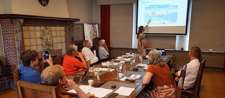
Eveline Reynhout, Senior Advisor Water & Soil at the Dutch Union of Water Boards describes the use of bubble screens to reduce saltwater ingress at water control structures
Leontien van den Aker from Delfland Water Board highlighted a recent challenge with regards to the salinity of silts dredged from inland watercourses, which were above guidance standards that had been set. The water board was investigating solutions for the future where the material could not be deposited adjacent to the watercourse, as is best practice in the Netherlands for such operations. This included the beneficial use of the material, turning it into clay that could be used to strengthen and repair sea dikes, or creating construction blocks that could be used for coastal defence work.
We were given a tour of the local water level management by Karel van Dijck, Assistant Dijkgraaf (Vice Chair) of the Polder Land van Waas. The Polder Board manages water levels within 13,000 ha of lowland across the Scheldt Estuary from the city of Antwerp. They operate pumping stations both large and small and well as managing the condition of the lowland watercourses. At an average of only two to three metres above sea level these agriculturally productive polders face pressures from saline intrusion both directly into their watercourses, and by infiltration. The polder board has trialed with success a system of catch drains along the sea dike, fed by a reliable supply of freshwater from further inland with the aim of buffering the intrusion of more saline waters.
There are also salinisation pressures from the adjacent port as well as the need for compensatory intertidal habitat that any port expansions bring. The local Hedwigepolder/Prosperpolder that straddles the Belgian/Dutch border has already been reverted in the way creating an important new tidal space for nature with new dikes set back from the Scheldt Estuary. However, the project has resulted in consequential changes that have increased the neighbouring polders’ reliance on pumping to evacuate excess water. Eerily we also visited the village of Doel where the population had been evacuated to make way for a now cancelled expansion of Antwerp Port.
Conclusions
Reflecting on the meeting, some common challenges from salinisation across European North Sea coasts are clear:
- It is a chronic problem, with long time horizons for changes in lowland coastal areas. However, when tipping points occur the impact felt at a local level for freshwater availability could be very acute.
- It is yet another aspect of the wider need for better retaining water safely within our highly productive lowland landscapes.
- Monitoring is knowing. There is a strong need for greater monitoring and research into salinisation.
- In many lowland coastal areas around the UK and Europe, there are rapidly evolving changes in the need for and abstraction of freshwater (e.g. for irrigation).
- It would be valuable to continue to connect knowledge being gained on this topic at local levels both within and across member states, from both the agricultural and water management sectors.

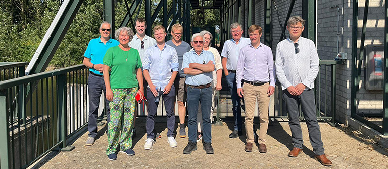
EUWMA Mid-Term 2023 group photo at a pumping station operated by Polder Land van Waas
Archive
- March 2025
- February 2025
- January 2025
- December 2024
- November 2024
- October 2024
- September 2024
- August 2024
- July 2024
- June 2024
- May 2024
- April 2024
- March 2024
- January 2024
- December 2023
- November 2023
- October 2023
- September 2023
- August 2023
- July 2023
- June 2023
- May 2023
- April 2023
- March 2023
- February 2023
- January 2023
- December 2022
- September 2022
- August 2022
- July 2022
- June 2022
- May 2022
- April 2022
- March 2022
- February 2022
- January 2022
- December 2021
- November 2021
- September 2021
- July 2021
- May 2021
- March 2021
- February 2021
- January 2021
- December 2020
- November 2020
- October 2020
- September 2020
- August 2020
- July 2020
- May 2020
- April 2020
- March 2020
- February 2020
- January 2020
- December 2019
- November 2019
- October 2019
- September 2019
- August 2019
- July 2019
- June 2019
- May 2019
- April 2019
- March 2019
- February 2019
- January 2019
- December 2018
- November 2018
- October 2018
- September 2018
- August 2018
- July 2018
- June 2018
- May 2018
- April 2018
- March 2018
- February 2018
- January 2018
- December 2017
- November 2017
- October 2017
- September 2017
- August 2017
- July 2017
- June 2017
- May 2017
- April 2017
- March 2017
- February 2017
- January 2017
- October 2016
- September 2016
- August 2016
- July 2016
- June 2016
- May 2016
- April 2016
- March 2016
- January 2016
